****
|
|
|
|
**** | |
| Google Maps w/ Street view | Street maps and Aerial Photos |
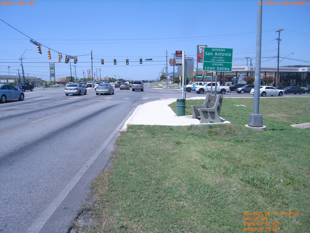
| Photograph Specific Information | |
| Location (Latitude) | 29.506617 |
| Location (Longitude) | -98.628278 |
| Location (P,X,Y) | 4204 2086733 13731933 |
| Location (X) | 2086733 |
| Location (Y) | 13731933 |
| Datum | US State Plane NAD 83 Texas South Central ft (4204) |
| Elevation | 863 ft |
| Direction | 313.2° |
| Time | 08/17/2018 2:08:55 PM |
| Original File | R1001329.JPG |