****
|
|
|
|
**** | |
| Google Maps w/ Street view | Street maps and Aerial Photos |
| Photograph Specific Information | |
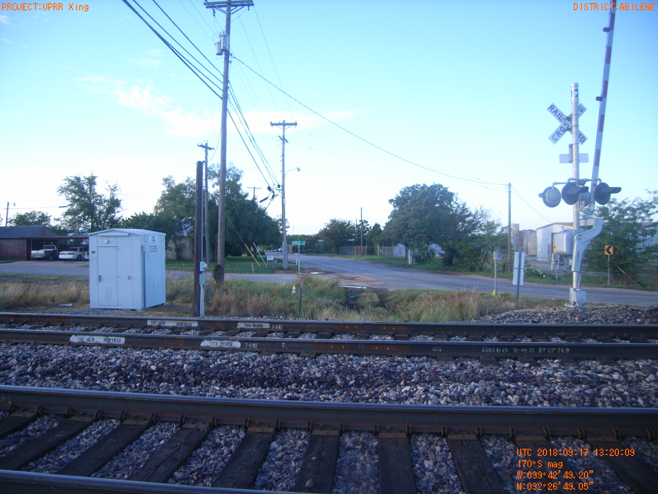
| Location (Latitude) | 32.446958 |
| Location (Longitude) | -99.713667 |
| Location (P,X,Y) | 4202 1594116 6847711 |
| Location (X) | 1594116 |
| Location (Y) | 6847711 |
| Datum | US State Plane NAD 83 Texas North Central ft (4202) |
| Elevation | 1677 ft |
| Direction | 176.1° |
| Time | 09/17/2018 8:20:09 AM |
| Original File | R1000031.JPG |